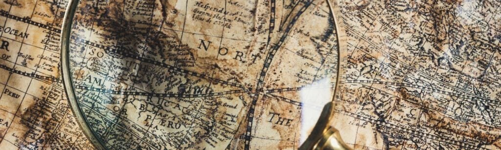
Ask any seasoned genealogist and they will tell you just how important maps are to their research. In fact, they will proclaim that you never truly examine your ancestor’s life unless you add maps to your record toolbox. Maps, especially when correlated with land, probate and church records, will give you insight into the time and space your ancestors inhabited. Almost no other resource paints a better picture of your ancestor’s world.
Old Map Collections to Use in Your Genealogy Research
Thankfully, several digital map collections are available online to help us better see that past. The following ten collections will enhance your research, but never forget to also take advantage of maps available in your local area of research by visiting the online collections at local historical museums, state archives, libraries, and universities. You can even use Google Maps as a digital resource. Read this article to learn more.
1. David Rumsey Map Collection
You could almost stop right here. Why, you ask? Well, because almost every map you could imagine is within this awesome collection. David Rumsey, president of Cartography Associates, is the owner of a map collection exceeding 150,000 maps. Over 25 years ago, he built this site to offer public access to his collection. We owe a huge debt of gratitude for his incredible gift.
From the Explore page, you can search for endless maps by simply refining your search. Or you can see previewed maps by roaming around the Google Maps page.
One nice feature that Rumsey has are historic road maps from the 1950s, such as this Shell Oil map of Florida. These will help you with recent ancestry. Give yourself some time to play with the Georeferencer. It was recently updated and allows you to overlay historical maps with their modern counterpart.
Every visitor should also acquaint themselves with Rumsey’s Copyright and Permissions. Best practices should require you to take the same approach with the rest of these resources that follow this collection.
2. Library of Congress Collections with Maps
Visit the Library of Congress to gain access to their full catalogue of digitized maps. For example, the Civil War Maps collection, with over two thousand maps, is the byproduct of the LOC’s collection, plus that of the Library of Virginia and the Virginia Historical Society. It’s quite comprehensive, to say the least. If you can’t find what you need here to better visualize this conflict you probably haven’t exhausted the collection yet.
Mapping the National Parks will offer you a glimpse at the beauty of America’s wilderness. Be sure to open the first tourist maps of Yellowstone National Park, from 1883. Just amazing!
The Library of Congress also holds the famed Sanborn Maps, which allow genealogists to see individual homesites. Read this article to learn more about these valuable resources.
To get a bird’s eye view of things, investigate the Panoramic Maps collection. My personal favorite is the Railroad Maps collection, from 1828 to 1900. This would be my first stop when researching family members employed by the railroad as builders or engineers.
3. Old Maps Online
The welcoming page of Old Maps Online will get your heart racing! It’s difficult to decide whether to click Find a Place or Browse the Old Maps. Choose wisely, friends! Either one can be a time-gobbler.
Browse the Old Maps defaults to your current location, and shows you a list of maps across history, just waiting for you to view them. A link redirects you to the map’s online location. If you choose Find a Place, a search bar allows you to type the location of your choosing. Perhaps the best news of all is that you can download the Old Maps mobile app for your phone or iPad, and carry this resource wherever you go.
4. Digital Public Library of America
The DPLA offers more than 40 million images, texts, videos and sounds, all from the U.S. – including 512,515 maps. Not too shabby. As you refine your searches listed items are displayed from their original source, which consist of separate institutions all across America.
Let this assist your research further by identifying sources you may not have thought of to use in your genealogical research. For example, the University of Kentucky holds a 1718 map of New Orleans. This becomes even more valuable when Kentucky’s collection is identified as a potential source for additional records pertaining to the same place and time. View each resource not as an end result but instead as a new angle that may lead to even greater evidence.
5. Harvard Map Collection
Harvard boasts two beautiful online collections in addition to maps held within the library itself in Cambridge. Online visitors can browse almost 3,000 items, many of which are entire atlas books. Do keep in mind that this collection extends far beyond the Old Bay State of Massachusetts.
6. New York Public Library Map Division
It’s impossible to describe the sheer volume of maps held on this site. You’ve got to see it for yourself. Definitely not limited to all things New York, you will find maps from every kingdom across the globe. To filter your search, type “map,” and then the “place” (i.e. map: Georgia).
7. Old Maps
The ease of locating state maps is what makes Old Maps (different than Old Maps Online listed above) invaluable to the genealogist. Simply go to the website, scroll down the state list on the left side of the home page, and up pops a series of maps for quick view. Their latest series of maps added to the archives is New York Town Maps. They also have a collection of nautical maps that are sure to fascinate historians focused on the Atlantic seaboard.
8. Norman B. Leventhal Map & Education Center
This invaluable resource includes four fundamental digital collections. They have the American Revolutionary War-Era Maps, the Boston and New England Maps, the Maritime Charts and Atlases and the Urban Maps.
Curated by theme, these offer easy access to the originals located throughout the country. A hand-drawn Draught of Boston Harbor from the 16th century pops up immediately, and it will amaze you. Navigation through this website is quite seamless and enjoyable. Simply click Browse the Collection and you are on your way!
9. Historic Map Works
Two collections are offered by Historic Map Works. The Library Edition can be accessed at public libraries and universities. The subscription-based website includes over 1.5 million images. Start with Browse and take advantage of the improved interactive browser. Filter by continent, country, and state or province. Once a place is identified, results are listed from oldest to present. The filter does not break it down to city or town but a search box is available to filter further. Once the map is opened, you can purchase the map or an image license.
10. Brunan Map Collection at the UCLA Library
If your research is focused on the west coast, specifically California, you may wish to visit the UCLA Library online. Libraries and college libraries are some of the best repositories of maps. Perhaps not all colleges have digitized their maps yet, but that should not diminish the importance these records may hold to solving your ancestor’s mystery. Speaking of college libraries, we have to give a shout out to the University of Alabama and its Historical Maps collection. So many hyperlinked maps available with just a simple click.
Additional Collections
We simply couldn’t leave you with only twelve maps resources, so we added a few more. As unique as they are, these are also powerful resources you may use over and over again in your research. The Greater Philadelphia GeoHistory Network is a must for anyone studying ancestors from Philadelphia, Pennsylvania. Within this amazing resource, for example, you can overlay a Modern Street Label map over the 1875 Philadelphia Atlas to see how things looked to your ancestor. It’s invaluable to any genealogist with family in Philly.
The World Digital Library will move your research from America to the world stage. Acting as a repository, this site will send you to the original source once you quickly locate a map of interest.
Some of us will wish we had ancestors from Chicago when we investigate Chicago in Maps. This repository offers a direct link to the original digitized map and is a Windy City gem. Of course, a story about maps would be remiss without addressing globes. If you like your maps in three-dimensions, check out the Virtual Globes Museum, just for the fun of it.
By Bridget M. Sunderlin, CG®. Bridget practices in Maryland. She is the owner of Be Rooted Genealogy, where she specializes in Maryland, Pennsylvania, New York, Ireland, and Scotland research.
For people interested in Scotland the National Library of Scotland has a wonderful collection dating back to the Pont maps in the 1500s – he was the earliest cartographer in Scotland and produced a comprehensive map and catalogue including drawings of multiple prominent buildings. I have found it invaluable and through it discovered the location of a castle occupied by my 1600s ancestors.
Also the Osher map museum in Portland Maine. Great collection of maps and globes. They digitize maps and globes from all over the world. Many other map museums use Osher because Osher has all the really great cameras and know how to do it.